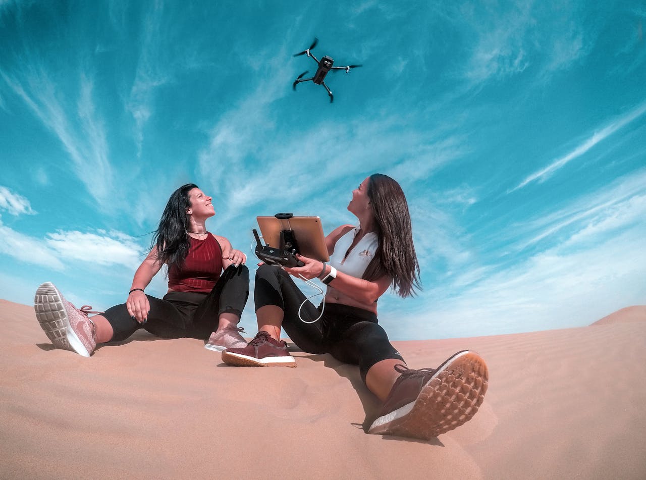
Drones, also known as Unmanned Aerial Vehicles (UAVs), have revolutionized various industries with their ability to capture high-quality aerial footage, perform tasks in hazardous environments, and deliver goods efficiently. One of the key factors that enable drones to fly smoothly is the advanced technology they are equipped with. In this article, we will explore the technology used in drones and their applications, focusing on how they achieve smooth flight capabilities.
———– < Try this drone Click here (Paid link) #Ad #Amazonassociates >—–
The Technology Behind Drones
1. GPS Navigation Systems
Drones are integrated with GPS navigation systems that allow them to autonomously navigate through the air. These systems use satellites to provide precise location data, helping drones to maintain their position and follow a set flight path accurately.
2. Inertial Measurement Units (IMUs)
IMUs are electronic devices that measure and report a drone’s specific force, angular rate, and sometimes the magnetic field surrounding the drone. This information is crucial for stabilizing the drone during flight and ensuring smooth flying experience.
3. Flight Controllers
Flight controllers are the brains of a drone, responsible for processing data from various sensors and guiding the drone’s movement. They use algorithms to adjust the drone’s speed, direction, and altitude, ensuring stable and smooth flight.
Drones utilize a variety of cameras and technologies to capture images and gather data for various applications. The choice of cameras and technologies depends on the specific use case, such as aerial photography, videography, surveying, mapping, agriculture, surveillance, or research. Here are some common cameras and technologies used in drones:
- RGB Cameras: RGB (Red, Green, Blue) cameras are standard cameras used for capturing visible light imagery. These cameras are suitable for general aerial photography, videography, and inspection tasks.
- Infrared (IR) Cameras: Infrared cameras capture thermal radiation emitted by objects and can detect temperature differences. These cameras are used in applications such as building inspection, agriculture (for monitoring crop health and irrigation), search and rescue, and wildlife monitoring.
- Multispectral Cameras: Multispectral cameras capture imagery in multiple spectral bands beyond the visible spectrum, such as near-infrared (NIR) and red-edge bands. These cameras are commonly used in agriculture for monitoring crop health, assessing vegetation vigor, and identifying stress factors.
- Hyperspectral Cameras: Hyperspectral cameras capture imagery across hundreds of narrow contiguous spectral bands, providing detailed information about the chemical composition and properties of objects. These cameras are used in environmental monitoring, geological exploration, precision agriculture, and mineral exploration.
- LiDAR (Light Detection and Ranging): LiDAR sensors emit laser pulses and measure the time it takes for the pulses to return after hitting objects, enabling the generation of detailed 3D maps and point clouds of terrain and structures. LiDAR is used in applications such as aerial surveying, mapping, urban planning, forestry, and infrastructure inspection.
- GPS (Global Positioning System): GPS receivers provide accurate positioning and navigation data to drones, enabling precise georeferencing and location-based tasks such as aerial surveying, mapping, and precision agriculture.
- IMU (Inertial Measurement Unit): IMU sensors measure the drone’s acceleration, orientation, and angular velocity, providing essential data for flight stabilization, navigation, and control. IMUs are critical for maintaining stability and controlling the attitude of the drone during flight.
- Gimbals: Gimbals are motorized stabilizing mounts that hold the camera and compensate for the drone’s movements, ensuring smooth and steady footage and imagery. Gimbals are essential for aerial photography and videography applications.
- Real-Time Video Transmission: Drones often feature real-time video transmission systems that stream live video footage from the drone’s camera to a ground control station or mobile device, allowing operators to monitor the drone’s surroundings in real-time.
- Computer Vision and AI: Advanced drones may incorporate computer vision algorithms and artificial intelligence (AI) technologies for tasks such as object detection, tracking, and recognition. These technologies enable drones to autonomously identify and analyze objects and perform complex tasks without human intervention.
Applications of Smooth Drone Flight
1. Aerial Photography and Videography
Drones equipped with high-resolution cameras are widely used in the film and photography industry to capture stunning aerial shots. The smooth flight capabilities of drones allow filmmakers to create cinematic sequences with ease.
2. Precision Agriculture
In agriculture, drones with smooth flight capabilities can be used to monitor crop health, analyze soil conditions, and even spray fertilizers. The stability and accuracy of drone flight ensure precise data collection for better decision-making on the farm.
3. Search and Rescue Operations
Drones fitted with thermal imaging cameras can aid in search and rescue missions by locating missing persons or survivors in hard-to-reach areas. The smooth flight of drones enables them to cover large areas quickly and efficiently.
4. Package Delivery
Companies like Amazon are exploring the use of drones for package delivery, thanks to their ability to navigate through urban areas and deliver goods to customers’ doorsteps. The smooth flight of drones ensures safe and timely delivery of packages.
In conclusion, the technology used in drones plays a crucial role in enabling them to flight smoothly and perform a wide range of tasks efficiently. From aerial photography to search and rescue operations, drones have proven to be versatile tools with endless possibilities. As technology continues to advance, we can expect drones to become even more sophisticated in their capabilities and applications.
SEO Meta Description: Discover how drones achieve smooth flight capabilities with advanced technology. Explore the applications of drones in various industries.
Title: Mastering the Art of Smooth Drone Flight Technology
#drones #flightcontrol #flyingtechnology #GPS #Inertialmeasurement #techindia #techblog #datacollect.in


